

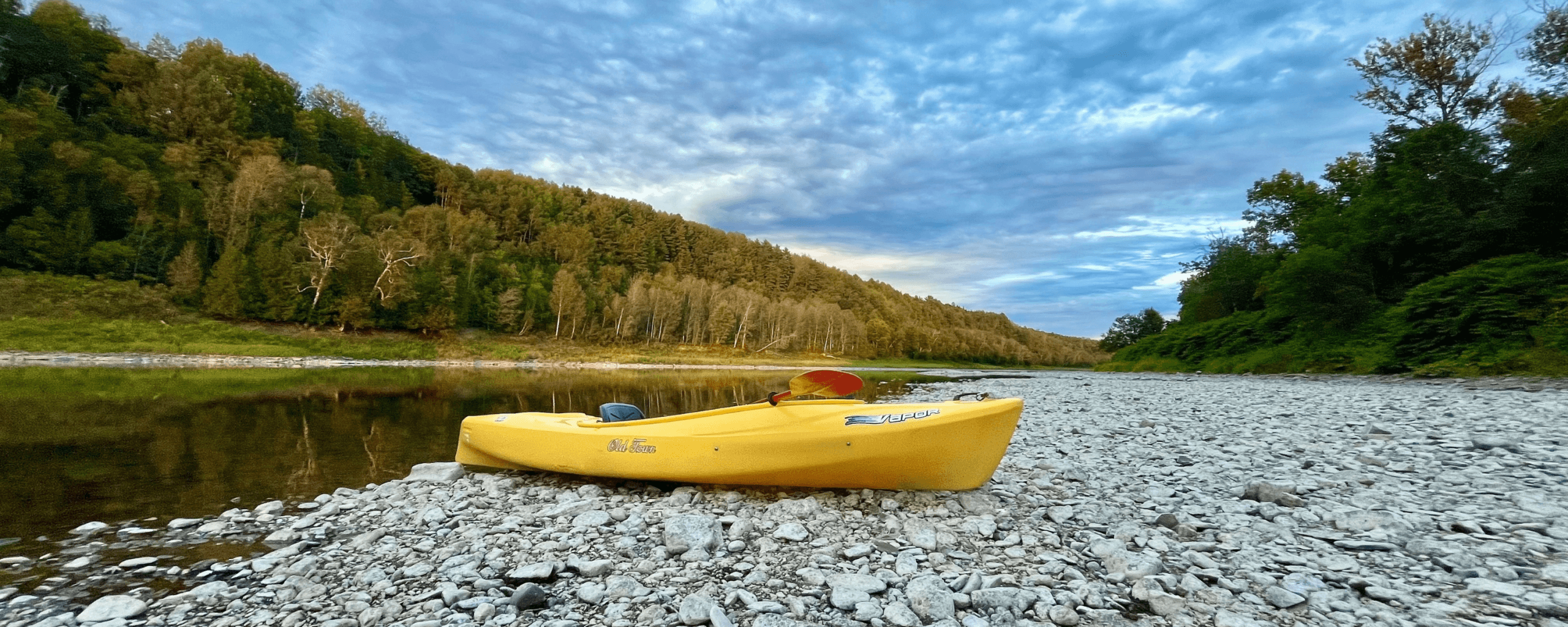
For nearly twenty years, the Aroostook River has been part of our everyday lives. We live along it here in Caribou, Maine, and Luc and I have spent countless hours walking the exposed riverbed and looking for objects, never really knowing what we might come across. This kind of searching is often called mudlarking.
Quite a bit of the Aroostook has found its way into our home. Old bottles, horseshoes, doorknobs, river glass, golf balls, metal gears and more interesting rocks than I could possibly count are displayed around the house.
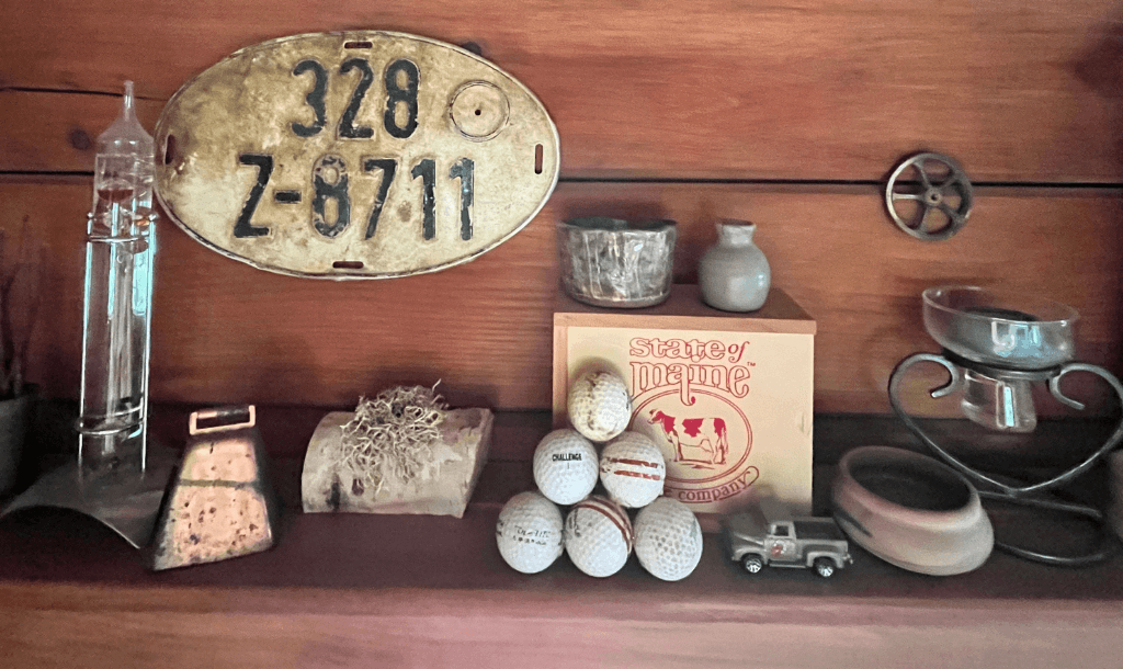
Some finds make more sense than others. A full, intact bottle is surprising, but at least I can imagine how a bottle ended up in a river. A German license plate found in the Aroostook River in Caribou, Maine? Yup! That one raises a few more questions.
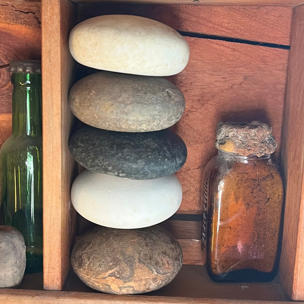
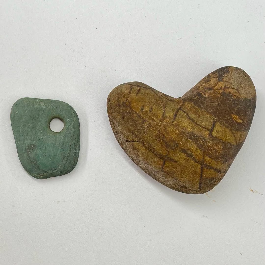
But not everything that catches our attention is something someone left behind. Sometimes it is the work of the river itself that makes us stop, especially when we find a stone so smooth, round, symmetrical or perfectly heart shaped that it almost doesn’t look natural.
We have spent years exploring what the Aroostook leaves behind. This time, I wanted to know more about the river’s history.
Where the Aroostook Begins
Far to the west of Caribou, Millinocket Stream and Munsungan Stream come together to form the main stem of the Aroostook River. Maine’s law on water classification identifies this confluence as the start of the main stem. (Maine Legislature)

From there, the river travels east and northeast across northern Maine, running through Ashland, passing north of Presque Isle and east of Caribou, then continuing through Fort Fairfield before crossing into New Brunswick and eventually joining the Saint John River, known to the Wolastoqiyik as the Wolastoq.
At the U.S. Geological Survey monitoring location in Fort Fairfield, the drainage area upstream covers 2,301 square miles. (U.S. Geological Survey)
It is easy to forget the scale of the river when I am standing in one familiar section of it. What looks like one river passing our house is really carrying water collected from an enormous part of northern Maine.
The landscape beneath all that water has an even older story.
Northern Maine was shaped by repeated periods of glaciation. As the last great ice sheets retreated, they left behind enormous quantities of rock, gravel, sand and other sediments.
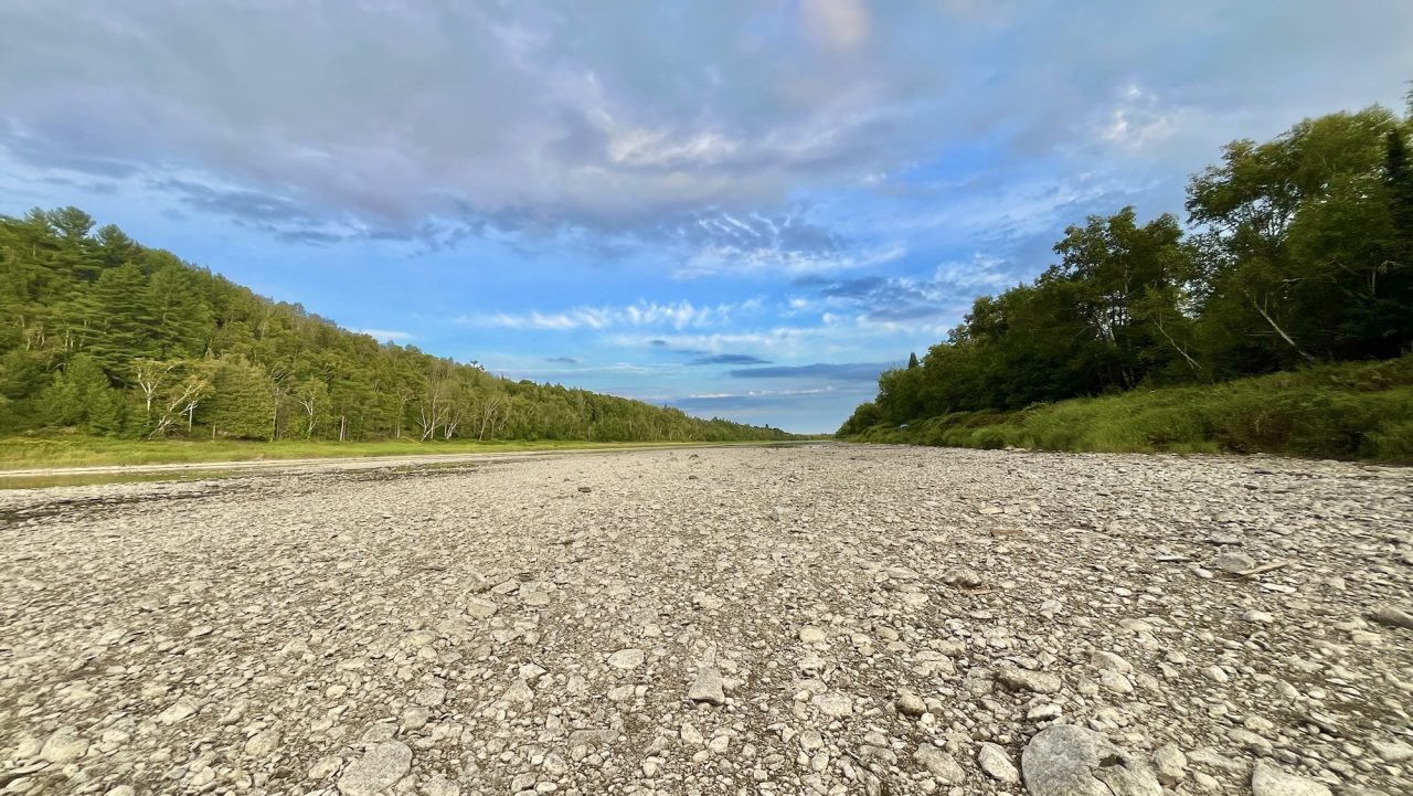
Standing on the exposed riverbed below our house, that history doesn’t seem quite so abstract. There are places where the stones seem to go on forever. Many are smooth and symmetrical. We find nearly perfect circles, flattened ovals, stones with holes through them and more heart shaped rocks than you would think possible.
Long Before There Was a Caribou
You know how so many of the history books we grew up with seemed to start a place’s story when the first white settlers showed up?
Reading about the history of Caribou has been a lot like that.
The story usually begins with Alexander Cochran arriving here in the late 1820s, followed by other families who settled along the Aroostook River. I too assumed that was where the story began.
But the river’s human history began long before that.
Indigenous people were living in northern Maine thousands of years before Alexander Cochran ever set foot here. The rivers were routes through a familiar homeland, places to fish and connections between communities, long before anyone drew township lines, built roads or decided this place should be called Caribou.
Even the name Aroostook goes back farther than I had realized.
The name has Indigenous roots, although exactly how we ended up with the word Aroostook isn’t completely clear. Some of the simple translations you see repeated online don’t really tell the whole story.
Historian William Francis Ganong spent years studying Indigenous place names in this part of the world. He found an early form written as Arassatuk on a European map from 1699 and believed the history of the name Aroostook was connected in some way with Wolastoq, the Wolastoqey name for the Saint John River. Even Ganong wasn’t completely certain how the name eventually became attached to the Aroostook River. (William F. Ganong, Ganong’s monograph on New Brunswick place names)
While I was reading about all of this, I also came across the work of Wolastoqey scholar Andrea Bear Nicholas. She writes that Aroostook County is part of traditional Wolastoqey territory within the much larger Wolastoq watershed, stretching through what we now call Quebec, Maine and New Brunswick. (Andrea Bear Nicholas, Wabanaki Nationhood, Sovereignty, and the State of Maine)
That was another one of those things I had never really given much thought. The borders we know today came much, much later. The rivers were already here, people were already traveling them, and they already had names. This is also a living homeland: Wolastoqey communities continue their relationship with these lands and waters today. (Wolastoqey Nation in New Brunswick)
By the time Cochran and other settler families arrived, the river already had a long human history. The town we now call Caribou was still taking shape.
Letter H Plantation was organized in 1848 and incorporated as the Town of Lyndon in 1859. After annexations in 1869, Lyndon took the name Caribou permanently in 1877; it became a city in 1968. (Caribou Historical Society; City of Caribou)
But before Caribou even had its name, there was another pretty big problem.
People couldn’t agree on which country much of northern Maine belonged to.
The Aroostook War
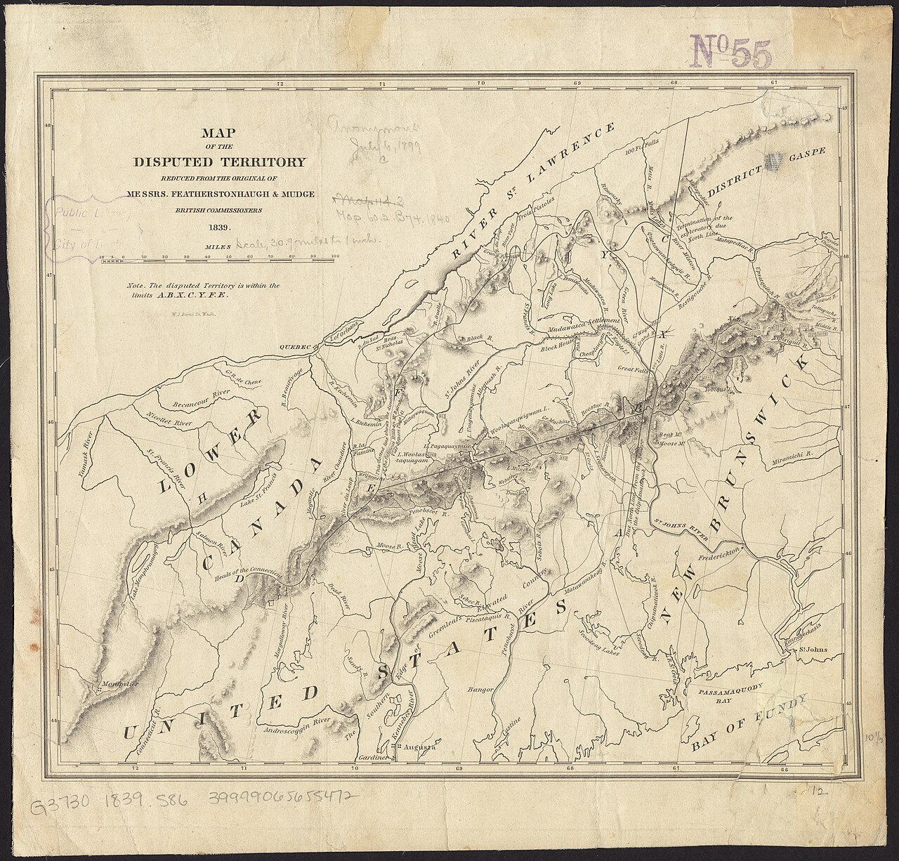
After the American Revolution, the boundary between Maine and neighboring British territory remained poorly defined.
That became a much bigger problem because northern Maine contained something both sides wanted very badly.
Timber.
The valuable pine forests of the disputed territory attracted lumbermen from both sides of the border. By the late 1830s, disagreements over who had the right to cut that timber had helped turn a confusing boundary dispute into an international confrontation.
In 1839, troops and militia were mobilized, and the conflict became known as the Aroostook War.
Despite the name, there was no actual military battle between the United States and Britain. But there were arrests, armed forces, fortifications and a very real possibility that the dispute could turn into something much larger. Maine’s state archives describe the quality and value of the region’s pine forests as a major source of the tension. (Maine State Archives)
The Webster Ashburton Treaty of 1842 finally established the international boundary.
Today we think of the Canadian border as something fixed and obvious. It is strange to think that less than two hundred years ago, the land surrounding this river was part of an international dispute serious enough for troops to be mobilized.
When the River Carried the Forest
Long before I was walking the riverbed looking for glass, pottery and interesting rocks, the Aroostook River and the streams feeding it were working waterways.
Logging was a major part of northern Maine’s early economy, and before trucks and modern roads, rivers provided a way to move enormous quantities of timber through the region. Historical photographs of the Aroostook show log drives stretching across the water, sometimes becoming stranded when the river dropped too low to carry them downstream.
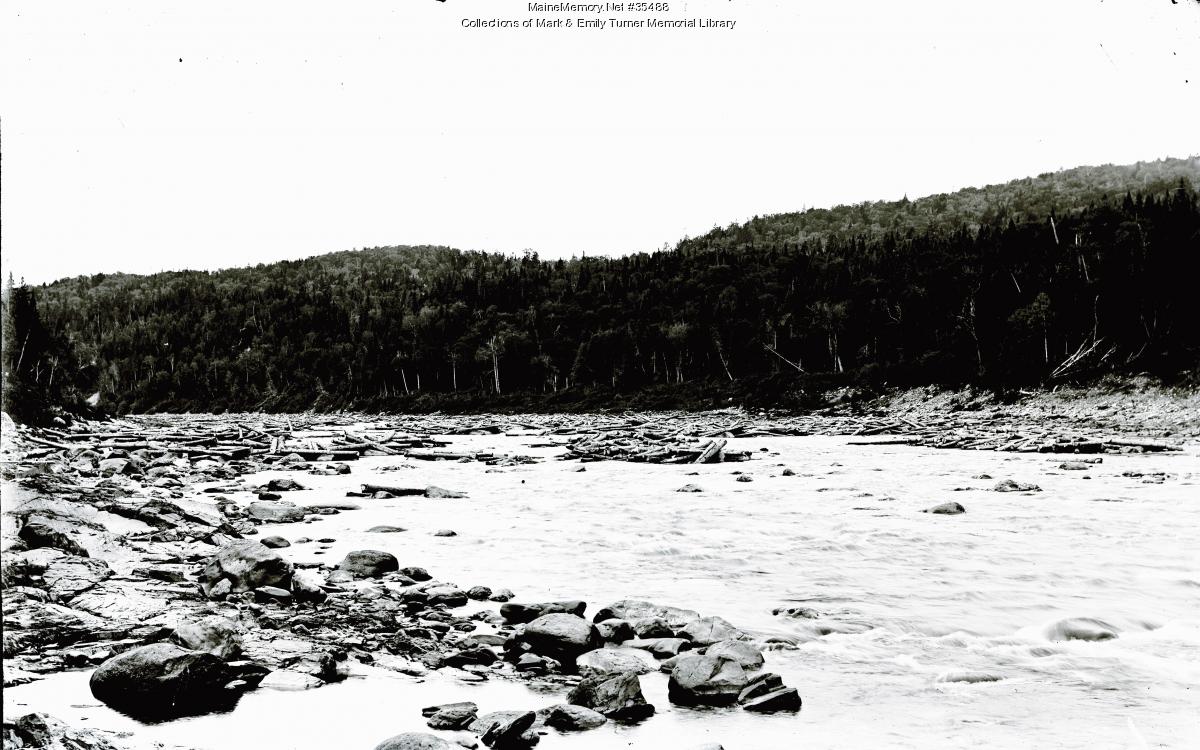
Caribou was very much part of that history. The river and the streams feeding it powered sawmills, gristmills, shingle mills and other industries that helped the community grow.
Some of that history happened surprisingly close to the stretch of river we explore. In 1854, David Collins built a dam and shingle mill at the mouth of Otter Brook, just before the Aroostook begins the large curve where Luc and I have spent so much time. (William J. Tasker, The Pioneer Homes of Caribou: A Celebration of Homes in Maine’s Northernmost City, “The David Collins House.”)
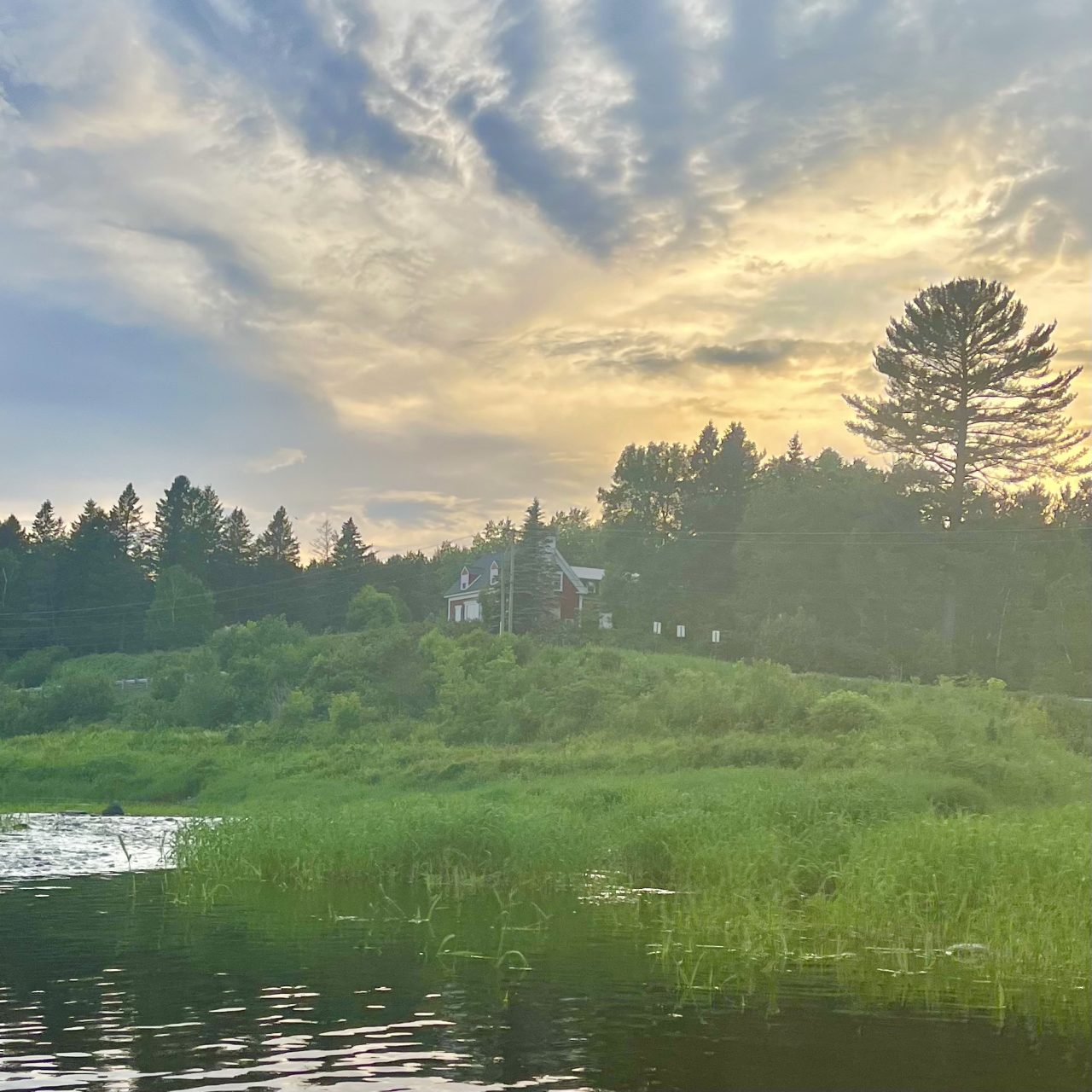
When I walk around the bend, I can even see the old Collins house in the distance.
Farther upstream, Caribou Stream supported another concentration of mills. Collins and Vaughan established mills there in the 1840s. (Caribou Historical Society) We find enormous weathered timbers among the rocks downstream. I can’t say exactly where each one came from, but they make me wonder about the river’s working past.
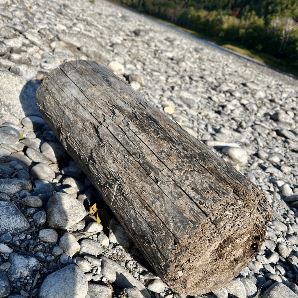
We also find old wooden shingles. A few years ago, I started reading about them and discovered just how important cedar shingles once were to Caribou.
Read the story behind the wooden shingles we find in the Aroostook River.
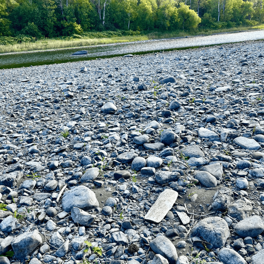
Standing in the river today, it can be difficult to imagine this same waterway carrying timber and powering mills. But every once in a while, something appears among the rocks that reminds me that the quiet riverbed I walk today was once a very busy place.
The Dam Changes the River
As Caribou grew, the river became more than a way to move timber or power mills along its tributaries. Eventually, people began harnessing the Aroostook itself.
The Caribou Water Company completed a timber crib dam across the Aroostook on October 19, 1889. A history of the Caribou utilities describes the original dam as 425 feet long, built from heavy wooden cribs filled with rocks. It backed up water for the town’s water supply; power generation also became part of the site’s history. (Caribou utilities history)
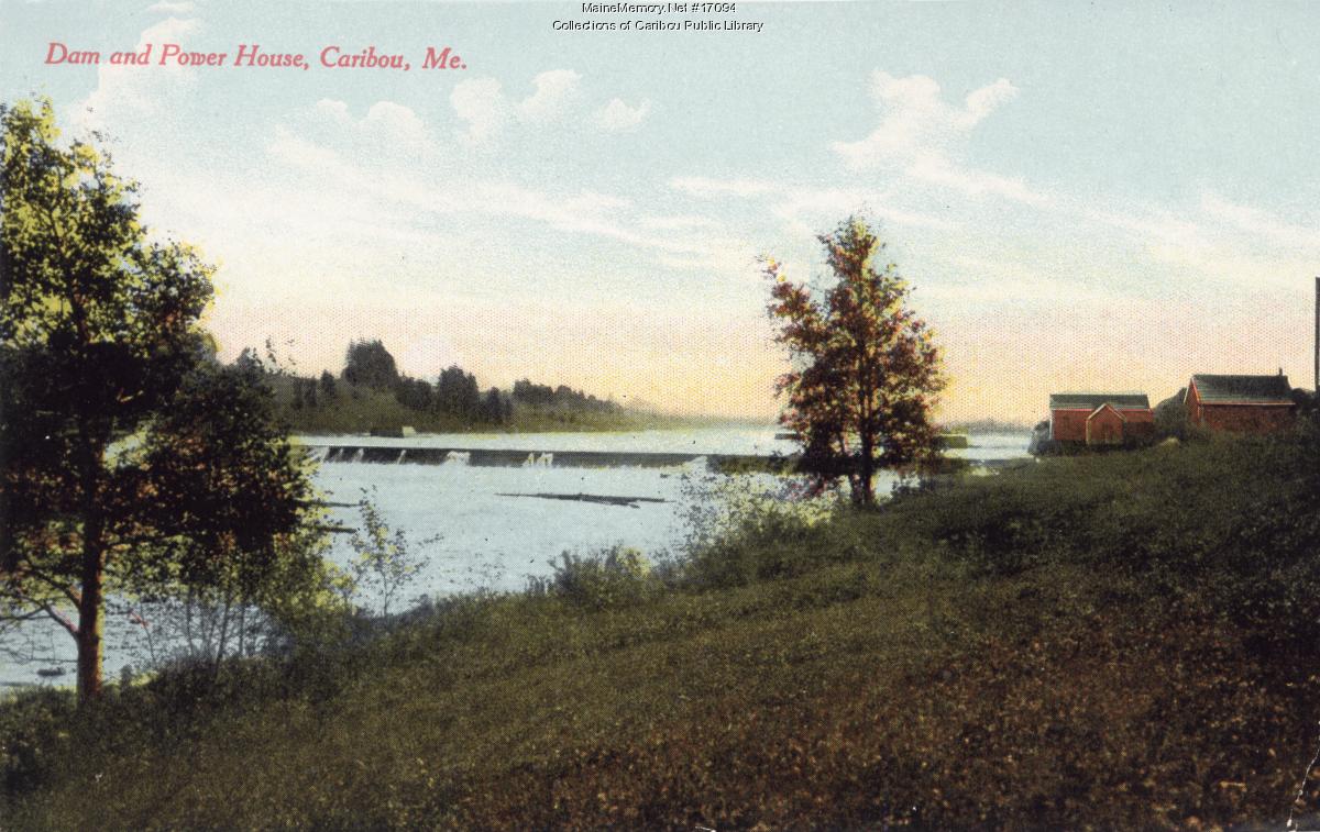
Building the dam changed this stretch of the Aroostook, backing water upstream and creating a deeper pool where the water moves more slowly. For me, the difference is easy to see: the water above the dam looks very different from the exposed stones and channels we explore below it.
The dam and power facilities changed over time, but the dam became a familiar part of Caribou’s landscape.
Below the dam, where we are, the river can be completely different depending on the water level. When the water drops, enormous stretches of riverbed appear. There are areas covered almost entirely in smooth stones, pebble beaches that look like they belong along the ocean, stretches of sand and even little sand dunes shaped by the water and wind.
In some places, the sand contains magnetic minerals. There are channels, gravel bars, clay deposits and huge rocks that disappear beneath the water again when the river rises.
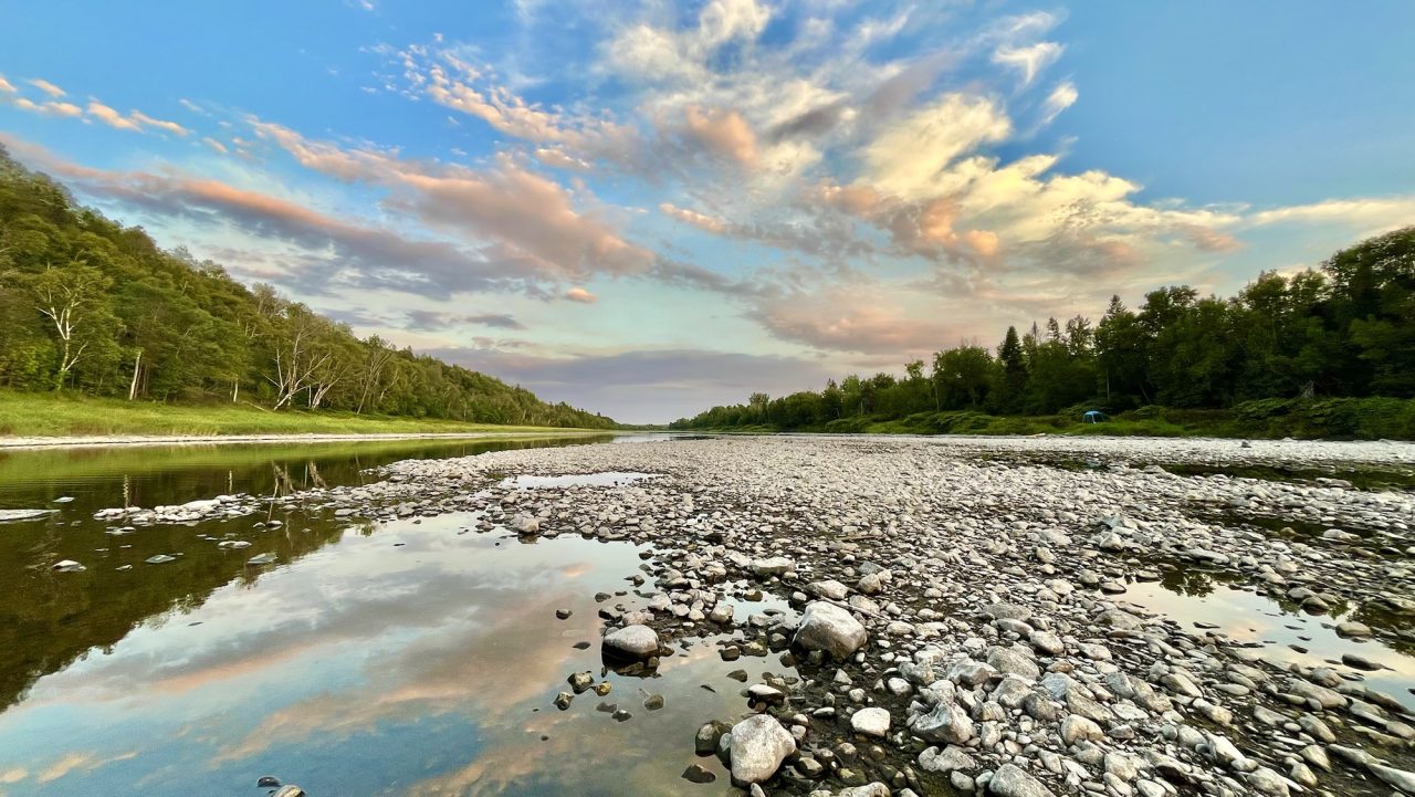
I have watched that landscape change year after year. A place we have walked dozens of times can look completely different the next time, or be gone. Rocks move. Gravel and sand shift. Banks erode. Something that was buried, carried in by the river or simply hidden beneath the water can suddenly be sitting among the rocks.
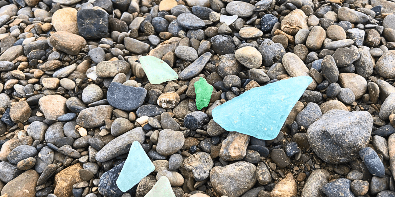
That is part of what makes walking the riverbed so interesting. You never really walk the same river twice, and it is so large there is always something new to look at.
Learning more about the Aroostook has changed how I see the things we find. An old shingle connects this stretch of river to its working past. A smooth stone reminds me of a much longer history. The glass, stones and weathered objects that come home with us are part of what makes Riverbed Art possible.
When I make something from a river find, I am working with a shape or texture that first caught my eye among the rocks. Now I have more to wonder about: what came before us, what the river has carried, and what it might uncover next.
The river is always changing.